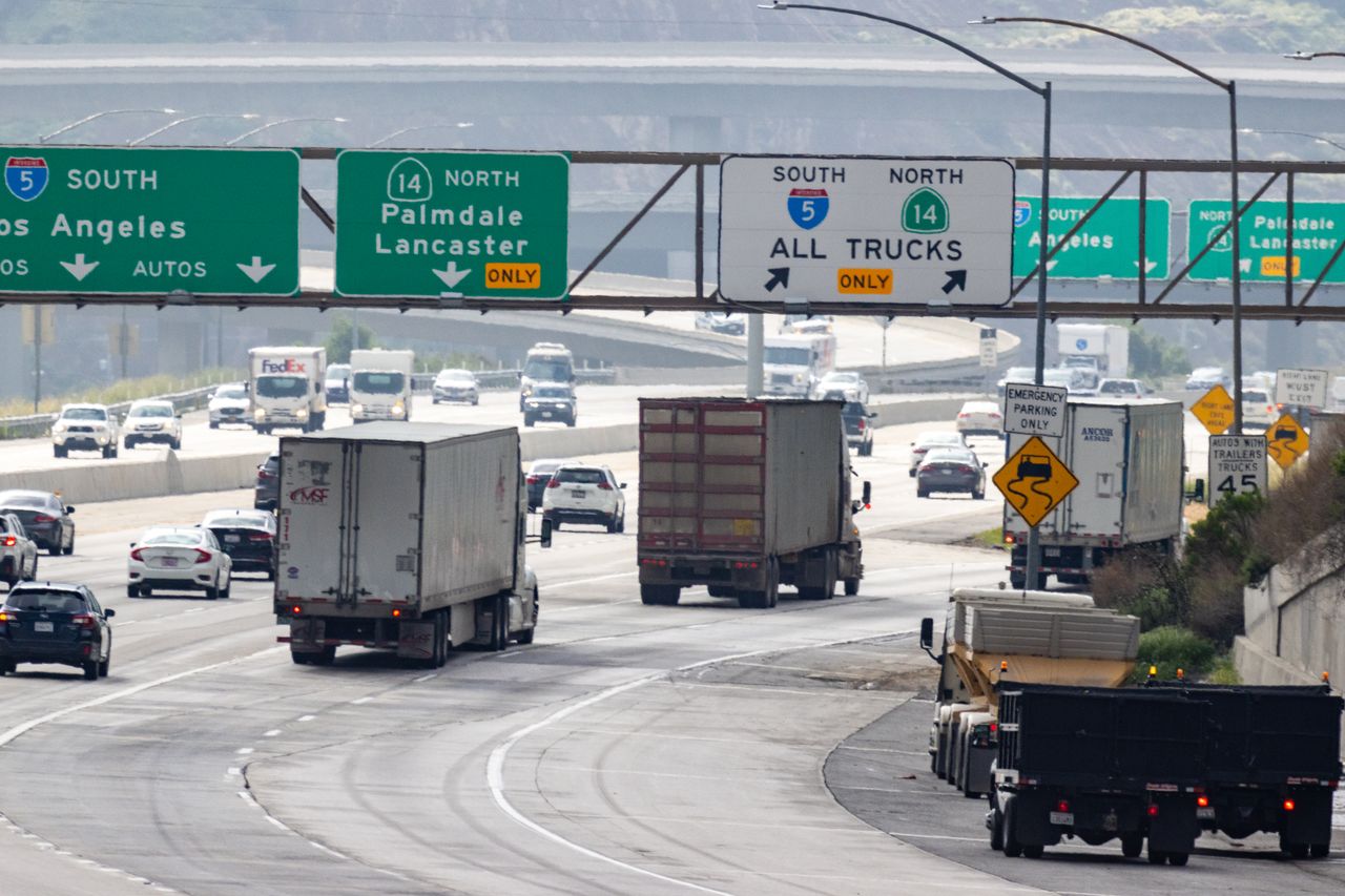
Chester County drivers checking a Pennsylvania Turnpike bill may see tolling points such as T310 or T313 alongside familiar interchange names. Those codes identify overhead toll gantries. Matching the Turnpike's system map with its invoice explanation helps make sense of charges around Downingtown and Route 29.
Open Road Tolling already operates east of Reading and on the Northeast Extension. The Turnpike dates that launch to January 5, 2025. Expansion west of Reading is planned for January 2027.
Match the gantry to your route
The official map, effective January 4, 2026, places three relevant tolling points along this corridor:
| Gantry | Between these interchanges |
|---|---|
| T310 | Morgantown, exit 298, and Downingtown, exit 312 |
| T313 | Downingtown, exit 312, and Route 29, exit 320 |
| T322 | Route 29, exit 320, and Valley Forge, exit 326 |
A gantry number identifies where a toll is collected; an interchange number identifies an entrance or exit. For example, the mapped tolling point between Downingtown and Route 29 is T313.
The invoice brochure's examples on PDF pages 4 and 5 show individual gantry charges in areas with Open Road Tolling. Trips in areas awaiting conversion still appear as an entry and exit pair. One journey can therefore produce several billing lines. More lines alone do not establish that a driver was charged twice.
What the equipment reads
According to the Turnpike's technology explanation, sensors above and within the roadway measure vehicle height and axle count. Additional sensors separate one vehicle from nearby traffic. Readers detect transponders, while cameras capture license plates. A fiber network carries the collected data for processing.
The agency's commercial driver guide describes the move from weight to height and axles for vehicle classification. For a business checking vehicle charges, that makes the recorded vehicle class another useful field to compare with the vehicle used.
When a transponder is not detected, the Turnpike says its system checks whether the plate belongs to an existing transponder account before generating a Toll By Plate invoice. Keeping that account's vehicle information current matters alongside proper transponder mounting.
Check the bill before assuming an equipment error
Compare the listed date, tolling point, vehicle class and payment method with the trip. The official toll calculator uses the route, vehicle and payment method to estimate charges. Its instructions say to calculate separate legs individually when a trip involves leaving and reentering the Turnpike.
The Turnpike Help Center lists several reasons a transponder customer may receive a plate invoice: a missing or improperly mounted device, an unlisted plate, insufficient account funds, or a device that needs replacement. A plate invoice by itself does not identify which condition occurred.
The invoice brochure directs readers to the invoice's third page for appeal instructions, including errors and rental vehicle situations. The Help Center also provides contact and dispute options. No account login or payment is needed to read those public explanations.
Toll records have access limits
The brochure's data notice describes use for toll processing, billing, enforcement and account management. The agency's law enforcement request page requires a valid warrant, subpoena or court order for records provided to police. The general tolling overview says data is not shared, while these separate records describe permitted uses and disclosure.
For viewing road conditions before a trip, see our Chester County 511PA camera guide. More local technology reporting appears in the Chester County coverage hub.
Photo: David Brown on Pexels, used under the Pexels License. Illustrative stock photograph of highway traffic in California, not the Pennsylvania Turnpike or its tolling equipment.
Related articles
Cameras and Imaging
Chester County traffic cameras: How to use 511PA
Find Chester County cameras on 511PA, read location labels, open video and understand why views may change. Partner feed integration has separate requirements.
Cameras and Imaging
East Brandywine camera upgrade: Server, audio and costs
East Brandywine approved a $38,993.59 camera and server upgrade. Its records describe network recording, audio compatibility, equipment reuse and a later deposit.
Chester County
Tredyffrin weighs $37,134 sewer control security upgrade
Tredyffrin supervisors will consider $37,133.53 in sewer control upgrades. The packet details station costs and leaves pricing and delivery questions to confirm.

Chester County
West Chester University WiFi: TVs, consoles and guest access
A guide to West Chester University wireless access: which devices need registration, where ClearPass works and what visitors need for a temporary account.