A public lidar dataset covering Chester County offers detailed information about the ground, but its file date needs context. Pennsylvania Spatial Data Access, known as PASDA, lists a Chester County terrain package within a federal mapping project whose name includes 2024. The project’s records distinguish when measurements were collected from when the finished data were published.
For residents examining land and organizations buying mapping services, those distinctions help establish what an existing public dataset can answer before commissioning new work.
What the terrain model represents
The U.S. Geological Survey explains lidar as a system that measures reflected laser pulses to determine distances. Its initial collection is a point cloud containing returns from the ground, buildings and vegetation. Producing a bare earth digital elevation model removes structures and vegetation from that representation.
The PASDA catalog entry for the southern Pennsylvania project describes a model made from ground points and water feature boundaries, with cells measuring two feet. It is an elevation dataset rather than an aerial photograph. It should not be interpreted as a picture of roof heights or tree canopies.
Three dates describe different work
The project metadata prepared by NV5 Geospatial gives a collection period of April 14, 2024, through April 1, 2025. It lists September 18, 2026, as the publication date.
The Chester County archive’s directory entry carries an October 1, 2026, file timestamp. That timestamp does not establish a new survey. The collection window applies to the project and does not identify the exact flight date for every Chester County property.
Two feet describes the grid
USGS lidar specifications treat model cell size and vertical accuracy as separate measures. Cell size describes how the model divides the surface into a grid; it is not a promise that every elevation is accurate within that distance.
The project’s accuracy section reports a vertical result of 0.0547 meters, about 5.5 centimeters, at 95 percent confidence using 123 independent survey checkpoints in open terrain. That is a reported test across the project, not a measurement made at every local address.
The same record specifies U.S. survey feet for elevation values and names NAVD88 with Geoid 18 as the vertical reference. Anyone combining this model with another dataset should check those units and references together.
Check the file before downloading
Start with the PASDA data summary, then follow Download to the county list. Choose the Chester County DEM mosaic ZIP archive. The listed size is 31,457,259,555 bytes, about 31.5 GB, for the compressed archive alone.
A limited file request during this guide’s November 11 check confirmed the archive responded and contained ZIP directory information. The entire package was not downloaded or tested. The catalog’s map service returned an error during that check, so a working interactive preview was not confirmed.
The metadata’s use notes caution that later changes can make the data differ from actual surface conditions. Check the survey period and your intended use before relying on the model for a current site question.
For owner, address and parcel searches, see the separate ChescoViews property records guide. More local technology reporting is available in the Chester County coverage hub.
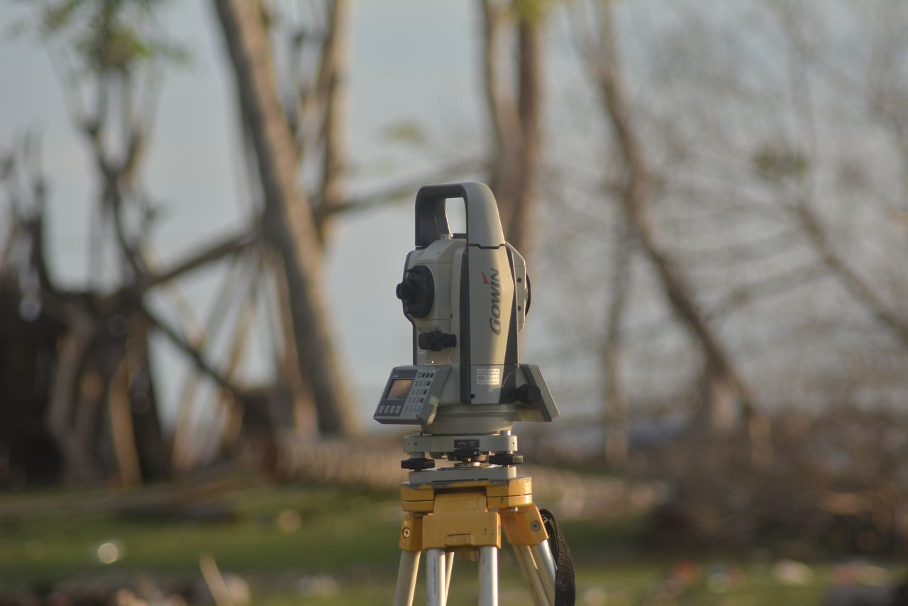
Photo: Illustrative stock photograph of a ground surveying instrument on a tripod. It does not depict this mapping project or airborne lidar equipment. Khoiru Ummah Kendari 24 on Pexels, used under the Pexels License. Image found through Pexafy.
Related articles

Chester County
Malvern cybersecurity workshop lists no remaining tickets
Malvern’s November 17 cybersecurity workshop is listed as sold out. Compare the event details with older notices and find state resources for local agencies.
Business Technology
East Whiteland data center noise: Audits and public access
East Whiteland requires noise studies and operating audits for covered data centers. Learn which results go to the township and which may reach residents.
Chester County
Tredyffrin fleet software: What the 2027 budget shows
Tredyffrin’s proposed fleet software budget remains $11,000. Earlier records explain its history and why a separate Verizon total is not a vehicle tracking price.
Cameras and Imaging
Downingtown flood camera and sensors: What records show
Downingtown’s flood camera records distinguish an installed camera from a public feed, proposed upstream sensors and automatic alerts.