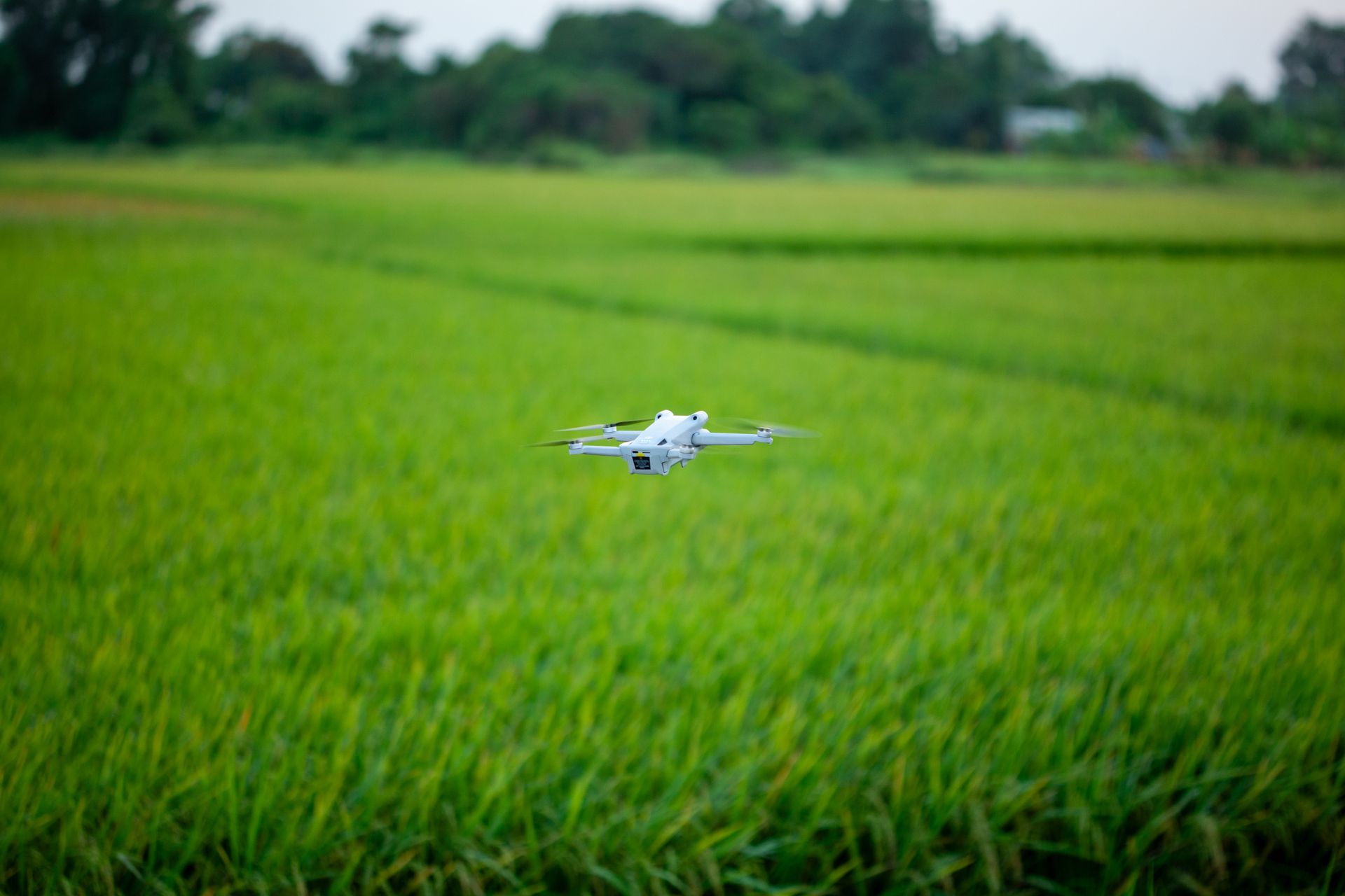
Farmers in Chester County, Pennsylvania, seeking a closer look at drainage or field conditions have a public resource to ask about: free aerial imaging through the Chester County Conservation District.
The district describes the service for cooperating farmers in its 2025 annual report, on page 12. Trained district staff conduct the flights to support farm operations and conservation work.
What the drone images are used for
According to the report, aerial photographs can help farmers and technical advisers examine drainage patterns, field conditions and existing conservation practices. The district also describes using the images to identify areas that may need attention and to discuss proposed projects with planners.
The district says the drone service is for planning and support, with no charge to cooperating Chester County farmers. It specifically excludes regulatory and enforcement purposes from the program's stated role.
Its description does not list the number of farms served, a flight schedule or measured results. Those details cannot be established from the published program description.
How it fits into conservation work
The drone service sits alongside a broader set of farm assistance programs. On its agriculture page, the district says its agricultural team helps producers address soil erosion and nutrient runoff. Staff can assist with planning, surveys and engineered designs for conservation practices, depending on a farm's needs.
That work begins with the property and the farmer's goals. The district says farmers who submit a request for assistance are contacted to arrange an initial site visit. Staff use that visit to learn about the operation and assess resource concerns before determining the next steps.
The district's conservation planning guidance describes a plan as a record of a farm operator's decisions about practices already in place or proposed for the property. It considers soil, water and other farm resources. Aerial imagery can inform that discussion; the drone program's description does not promise a completed conservation plan with every flight.
What cooperating with the district involves
The county's cooperator agreement and request for assistance form asks for the property's location, township, acreage and type of farm operation. It also lets applicants identify concerns such as erosion, stormwater, sediment and barnyard runoff.
The agreement grants district staff and assisting agencies permission to access the property for the requested resource evaluation. It says either the cooperator or the district may end the agreement through written notice. Farmers can review those terms before signing and ask staff how the agreement applies to a proposed drone visit.
Where Chester County farmers can inquire
The Conservation District office is at 674 Unionville Road, Suite 105, Kennett Square. Its published main number is 610 455 1360. The office lists public hours of 10 a.m. to 2 p.m. Tuesday through Thursday, with appointments also available.
When contacting the district, farmers can ask whether their operation qualifies, when flights are available and how they would receive the images. Asking who can access the photographs and how long they are retained can also clarify what participation involves.
Related local coverage
For another county service relevant to landowners, see our guide to Chester County property alerts and Fraud Notify. It explains recorded document notifications, a separate service from farm conservation assistance.
Browse Chester County news and service guides from The Wright Report.
This article is based on public district documents reviewed on September 27, 2026.
Photo credit: Bảo Minh on Pexels, used under the Pexels license. The stock photograph illustrates a drone over a field and does not depict a Chester County Conservation District flight.
Update, September 30, 2026: Added related landowner coverage and clarified that this article explains an existing program. The original publication date is unchanged.
Related articles
Chester County
Chester County emergency radio: Where LTE and CAD fit
Chester County lists voice radios, LTE routers, CAD software and 33 tower sites. Its 2026 radio budget explains planned capacity work and the limits of those records.

Chester County
West Chester's refreshed tree map: What the records show
West Chester announced a refreshed public tree map. Its records show names, status and asset IDs, including stump entries that explain the display’s limits.
Cameras and Imaging
East Brandywine camera upgrade: Server, audio and costs
East Brandywine approved a $38,993.59 camera and server upgrade. Its records describe network recording, audio compatibility, equipment reuse and a later deposit.
Chester County
West Whiteland plans Route 100 signal detection upgrades
West Whiteland records describe detection and power upgrades at four Route 100 intersections, plus lighting at Commerce Drive and Main Street. Compare the scope, grant and proposed bidding schedule.